


Geodetic monitoring
Geodetic monitoring of buildings and structures is a set of works carried out in the process of construction, reconstruction or operation of objects in
order to monitor deformations. Research is aimed at identifying critical values of deformations, as well as establishing the causes of their
appearance and making forecasts for further development. MCI experts have the highest profile geodetic education and valid qualification
certificates confirming the level of knowledge.
All this in combination with the latest fleet of modern geodetic equipment allows us to perform work with the highest quality.
We can execute:
1. Geodesic monitoring of foundation settlement, building monitoring;
2. Geodetic works to check the roll of structures;
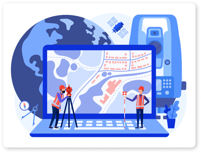
3. Building Roll Measurement;
4. Engineering and geodetic survey;
5. Observations (monitoring) of deformations during building settlement;
6. Determination of geometric parameters of structures and mechanisms;
7. Determination of horizontal / vertical deviations (roll) and the degree of deflection of structural elements, identification of structural defects using 3D scanning;
8. Control over deformations of both existing and under construction structures for the purpose of monitoring using 3D scanning;
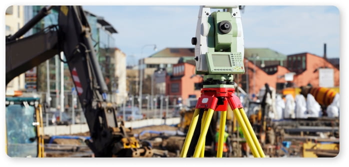
9. Quality control of production and construction in industrial and civil engineering using 3D scanning;
10. Control of geometry changes during the operation of industrial and civil construction using 3D scanning.